
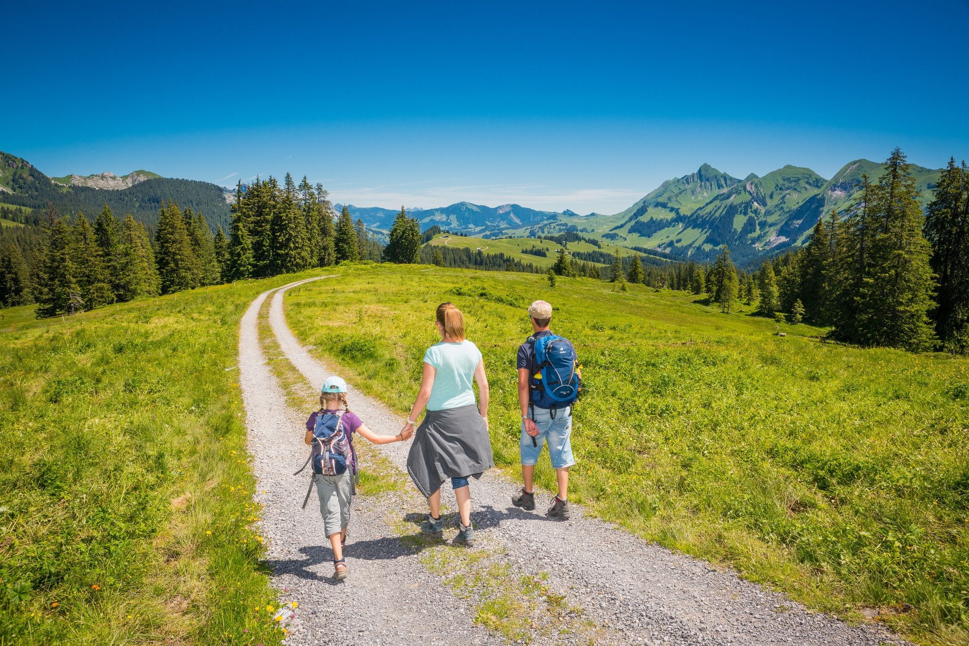
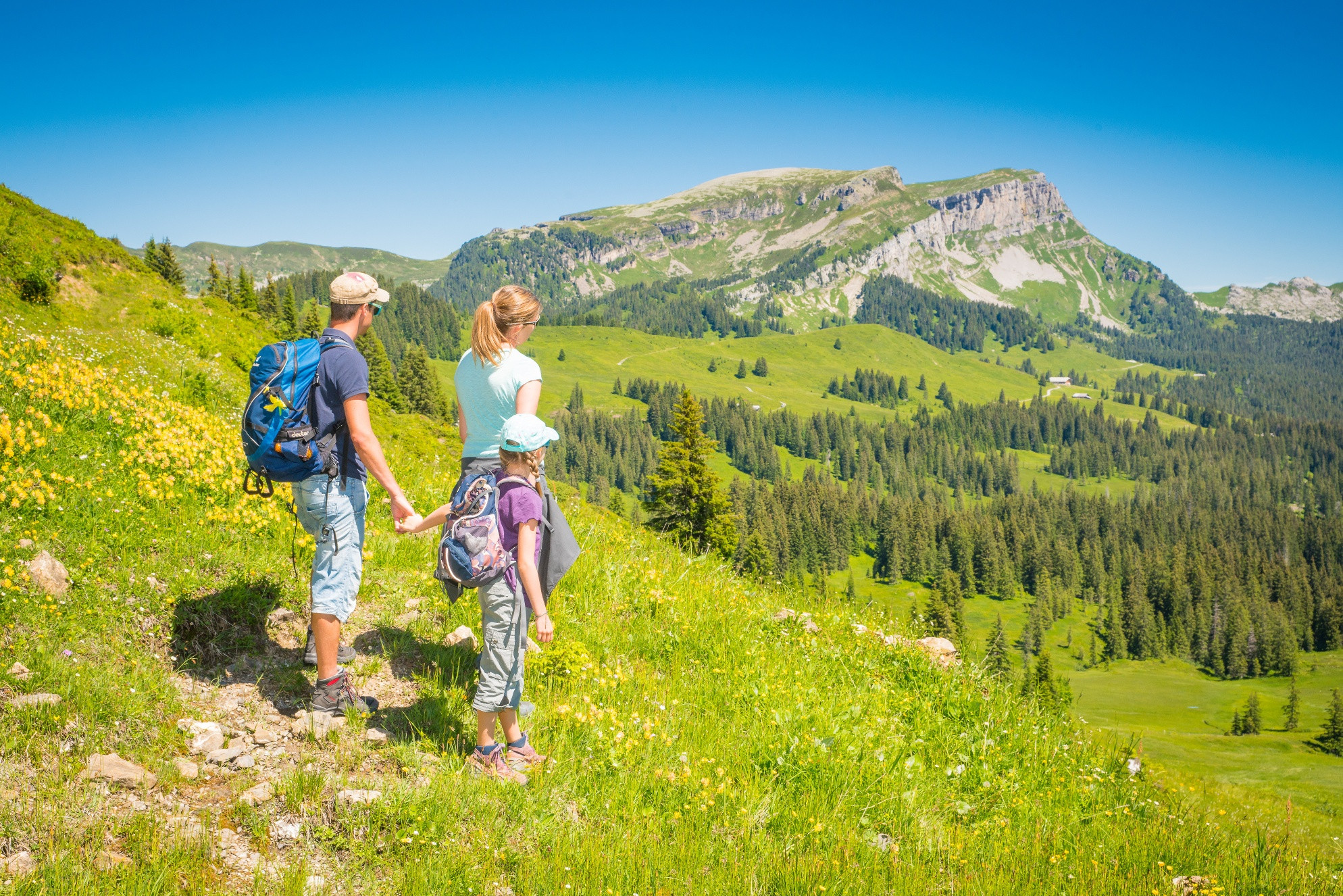
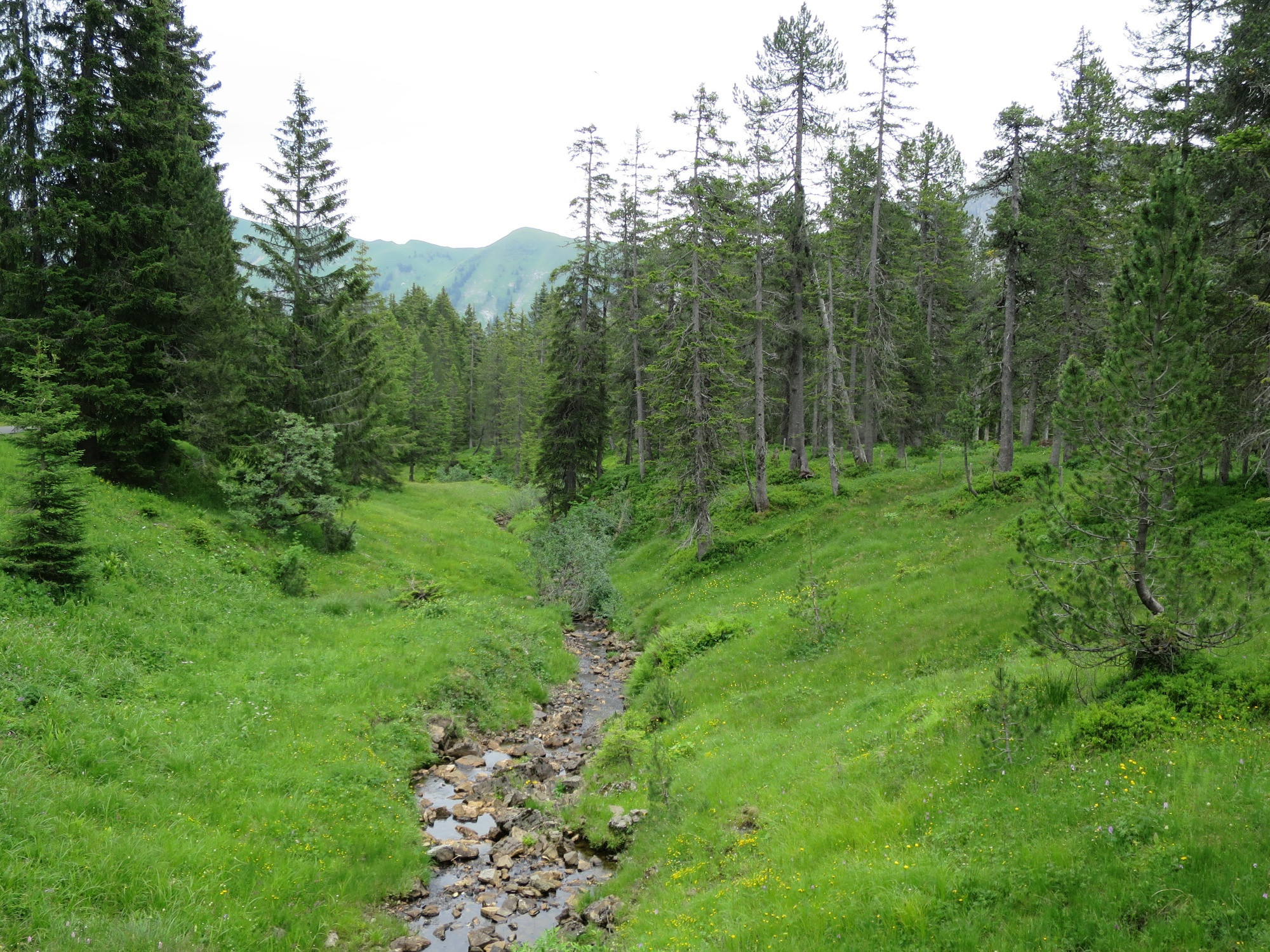
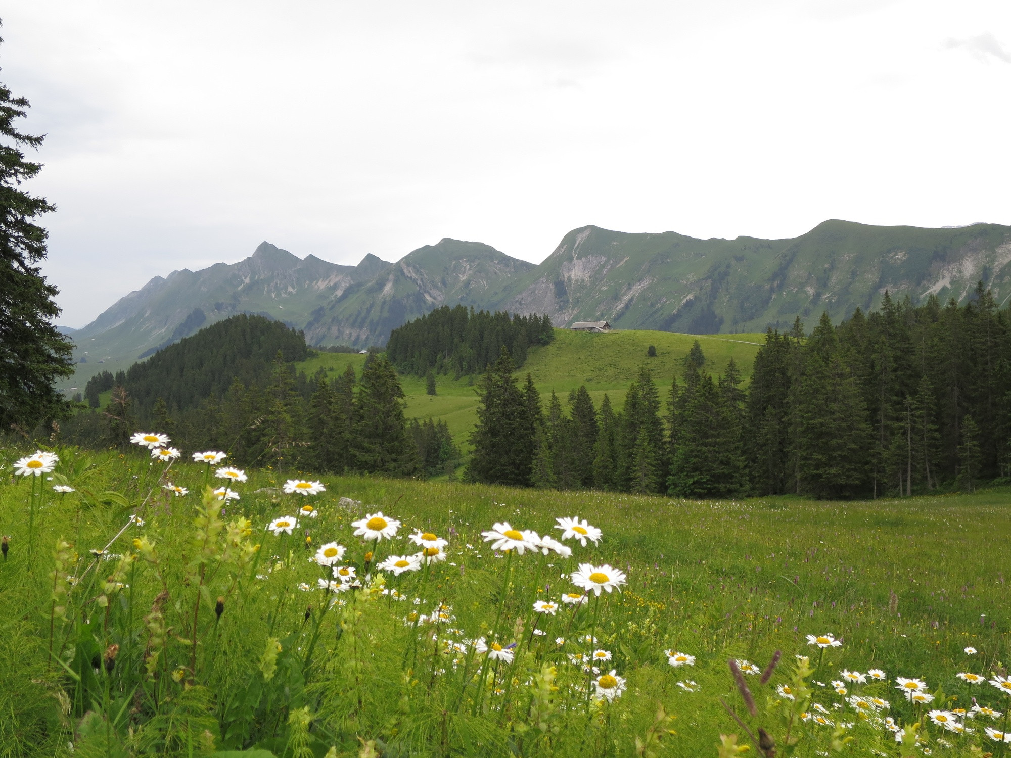
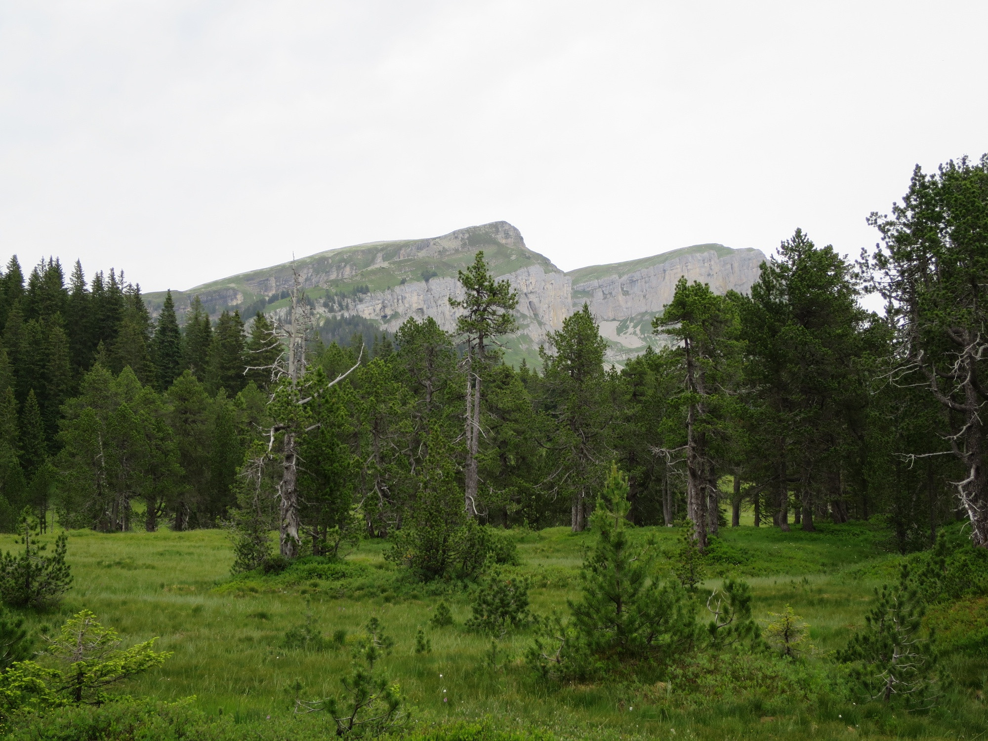
The unique idyll at the foot of the «Hohgant» can be reached on an easy circular hike starting from the Lombachalp. The largely flat trail runs across «Färrich», straight to the «Schwarzbach-Möser» nature reserve. After the picnic area on the moor, the rest of the hike follows a natural trail. At the spacious barbecue station, sit back and enjoy the wonderful views of the Eiger, Mönch and Jungfrau. A wide and gravelled alpine track runs through meadows and copses of trees, ascending gently to the «Widegg». You then continue along a narrow path tracking the eastern flank of the «Bolberg» to «Lägern». A series of charming cattle trails leads back to Lombachalp via «Winterröscht».
Note(s)
Vast swathes of upland moor and low moor – the largest in Switzerland – spread out between the Hohgant and the Brienzer Rothorn. Mass tourism is not allowed on the Lombachalp, but modest recreational activity and traditional agricultural practices are permitted. This is apparent in the Schwarzbach-Möser region, where the stunning upland moor is fenced off and entry is strictly prohibited. Visitors must therefore content themselves with gazing at the grasses, orchids and gnarly conifers – which is a highly pleasant experience in itself. Adjacent is a low moor where cattle graze; every two years, the moor is mown to encourage regular plant growth. In the nearby copse is a superbly equipped barbecue station overlooking the Augstmatthorn, Mönch and Jungfrau. In 2008, this peerlessly tranquil area at the base of the Hohgant was awarded the Cultivated Landscape Prize for the East Oberland region.
Every year, the «Kulturlandschaftspreis» (Cultivated Landscape Prize) is awarded to the most beautiful, and most valuable, areas of cultivated landscape in the East Oberland region. By supporting and promoting the area’s image through tourism, the award incentivises farmers to manage their land sustainably and help preserve our beautiful natural environment.
Looking for more hiking choices?
Here you will find details of hiking trails to inspire you in the Bernese Oberland.
Info
Directions
Recommendation
Directions
Drive from Lucerne over the Brünig Pass or from Bern along the autobahn and motorway via Thun-Spiez to Interlaken. On passing Unterseen you come to the junction for Habkern.
At the intersection in the centre of Habkern (bank, post office, shops), drive straight ahead towards Schwendi. The distance from Habkern village to Lombachalp is 6 km.
Public transit
Additional information
Marktgasse 1
3800 Interlaken
Phone: +41 33 826 53 00
[email protected]
www.interlaken.ch
Habkern Tourism
Im Holz 373
3804 Habkern
Phone: +41 33 843 82 10
[email protected]
www.habkern.ch


