The Alpine village of Saxeten, with less than 100 inhabitants, is well known as the starting point for several unique peak treks. The nearby hiking destinations of Bällehöchst and Morgenberghorn offer incomparable panoramic views.
From the minibus station, take the narrow road into the valley towards Innerfeld. The paving comes to an end at Rengggraben, where the narrow alpine road continues and begins to climb more steeply. When it turns a few hundred metres out of the valley, it reveals a view of the waterfalls of the Wyss and Saxet streams. The road’s large horseshoe bend follows the route of the old alpine trail, with the gradient easing off slightly only just before reaching the Nessleren chalet/Underberg. The powerful massif of the Schwalmere dominates the cirque.
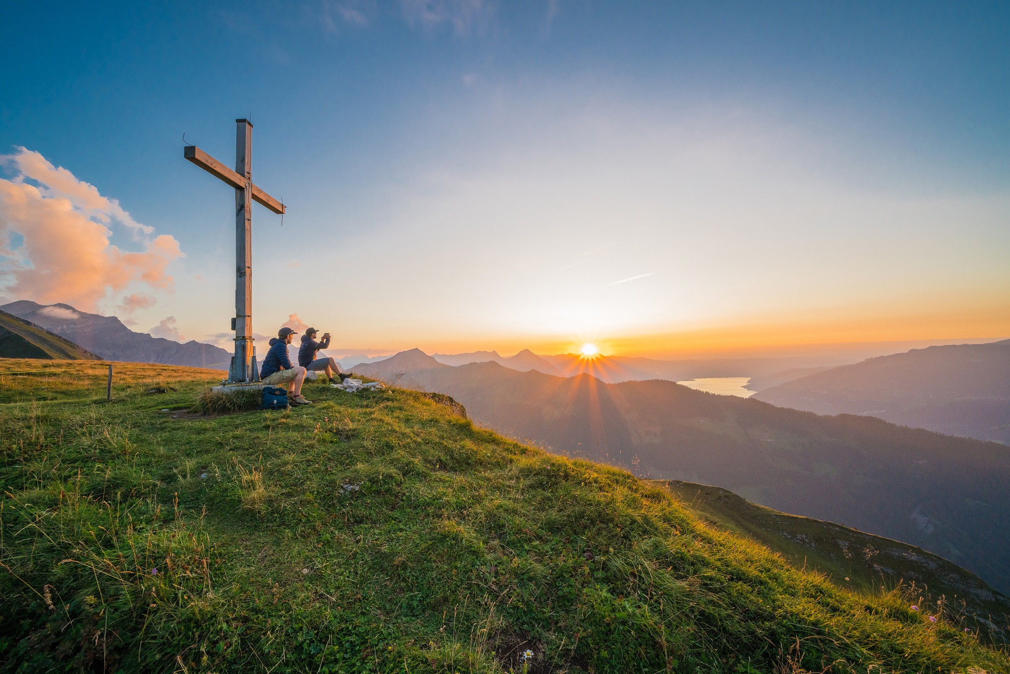
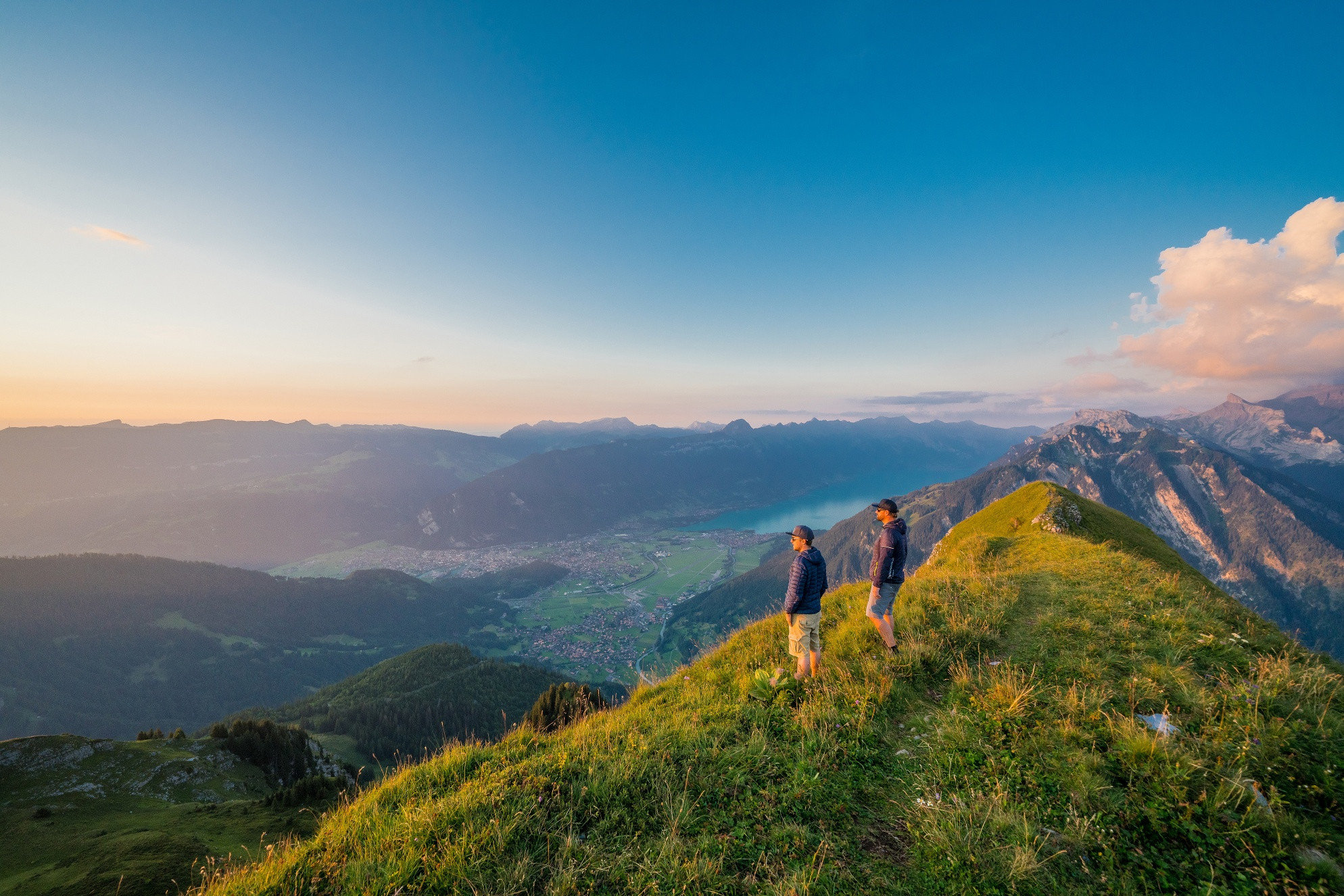
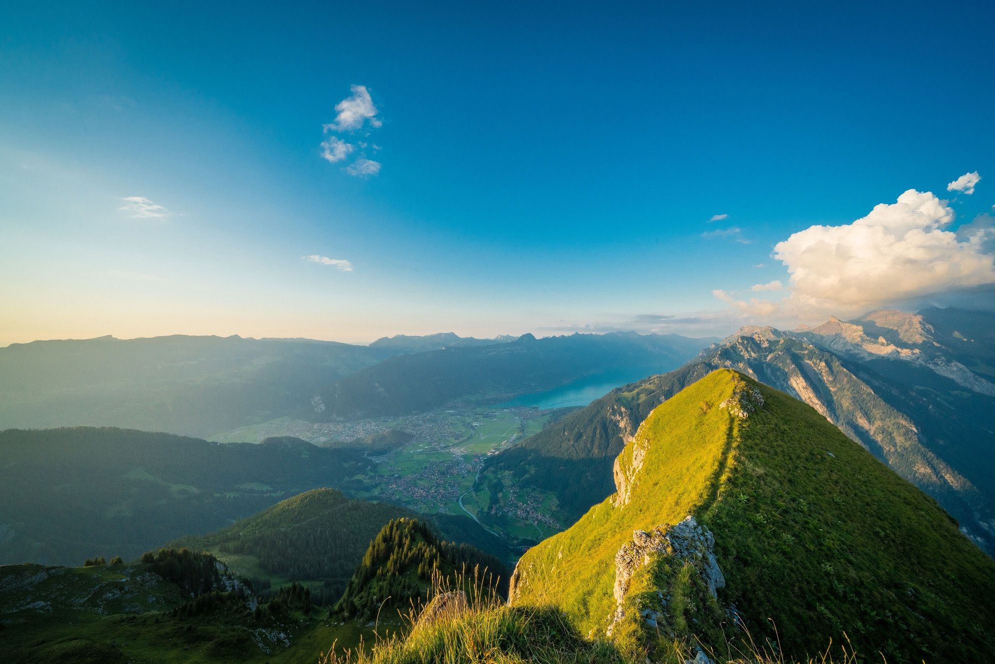
The road descends a little to the Saxetbach stream, narrows to an alpine trail, then becomes a footpath as it again ascends steeply. Hiking through areas of forest and across flower-filled meadows, you approach Hinder Bällen above the treeline (to Saxetwald-Saxeten 2hrs, to Saxetwald-Wilderswil 2hrs 40 mins). Your strenuous ascent is rewarded with a magnificent view of the Leissig and Därlig ridges curving down to the Aabeberg from the Morgenberghorn. In the valley below, the houses of Saxeten nestle close together. From here, enjoy the first view of the Bällehöchst. Now head for the Usser Bällen alpine hut, some 100 m higher, and climb up to the saddle between Sulegg and Bällehöchst (point 1998), where the views becoming surprisingly different: An extensive scree slope stretches from the Sulegg down to Alp Sylere and numerous gullies have been etched into the slate rubble. You can even hear the water gurgling and the stones rolling when it’s very quiet. The Bällehöchst observation platform is still a good quarter of an hour away. There are few places where it is possible to experience the diversity of the Alpine foothills and the enormous differences in altitude more impressively than here. There are views of the Niederhorn, Hohgant, Schrattenflue and Brienzergrat, while down in the valley, Lake Brienz and the eastern part of Lake Thun can be seen. To the south, the Jungfrau and the mountains at the rear of the Lauterbrunnen Valley sparkle.
To descend, follow the path back to point 1998 and then cross the aforementioned Tschingel scree slope. Caution is advised when crossing the final ridges. Passing the Sulsseewli, with its reflections of the Eiger, Mönch and Jungfrau, you reach the Sulshütten and 10 mins later the huts in the Chüebodmi (to Sousläger-Grütschalp 1hrs 20 mins). The good forest trail descends very steeply as it passes Sulwald en route to Isenfluh.
Descending by cable car from Sulwald to Isenfluh saves three quarters of an hour of this steep descent.
Info
Directions
Safety guidelines
Equipment
Public transit
Return journey: From Isenfluh by bus to Lauterbrunnen. From there by train to Interlaken Ost
Literature
Map
Additional information


