- 3:20 h
- 8.87 km
- 359 m
- 726 m
- 1,795 m
- 2,196 m
- 401 m
- Start: Grindelwald/First
- Destination: Bussalp
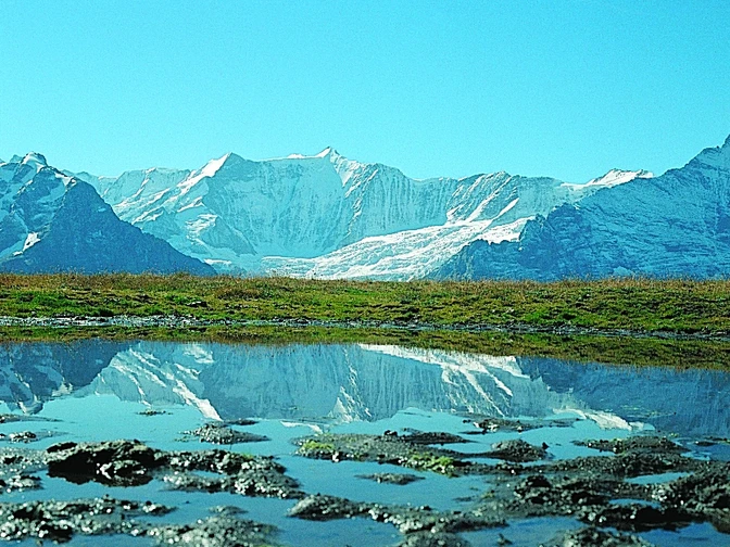
From the cable car terminal First, you hike on the Faulhornweg to the Widderfeld junction. The huts in Bachläger are already visible (to Bachalpsee 1h). The excellently laid out, well-walkable path descends steeply through terrain scattered with rocks. Caution when wet, as the schist ground becomes slippery! On an alpine road, you will soon reach the mountain house Waldspitz. Shortly afterwards, a path branches off towards the slope and leads, bordered by mountain spruces and blueberry bushes, through the debris of the mountain slope. The rocks between Furggehorn and Uf Spitzen mark the edge of the collapse niche of a massive post-glacial landslide that created the diverse hilly landscape down to the Schwendi station in the valley floor.
Past the alpine huts of Spillmatten, it then goes steeply upwards again to Fleesch (from Uf Spitzen–Bachalpsee 1h20). First leisurely, then very steeply ascending, you bypass the basin of Alp Holzmatten. Bright yellow sulfur anemones and other alpine flowers flourish here in large numbers. The path now initially gently descends into the hollow of the wide Büössalp. From the huts in Oberläger, it then goes quite steeply down again to the bus turning area in Bussalp/Mittelläger.
Good to know
Pavements
Best to visit
Directions
Equipment
Additional information
Literature
License (master data)
Safety guidelines
Map
Nearby


