- 30:00 h
- 62.23 km
- 4,300 m
- 4,300 m
- 1,380 m
- 2,890 m
- 1,510 m
- Start: Iffigenalp (Lenk)
- Destination: Iffigenalp (Lenk)
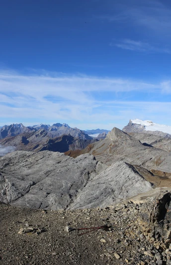
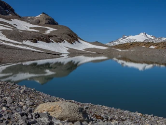
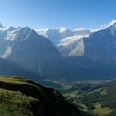
Set out to discover this magnificent route in a grand alpine setting on the border between two linguistic and cultural regions of Switzerland. The chosen itinerary and its variants have no technical difficulties. A somewhat dizzying passage, the Col des Audannes, is equipped with ladders and fixed ropes. The route is passable throughout the hiking season, once the high-altitude snowfields have melted, by walkers with sufficient training to manage five to six hours of walking per day. Crossing the lapiaz is quite challenging and requires a lot of attention but is not vertiginous. It is advisable not to hold your poles in your hands but to attach them to the pack, which allows your hands to be free. The Wildhorn circuit avoids roads and settlements and mainly follows well-marked and maintained mountain trails at altitudes ranging from 1400 to 2900 meters. Lakes, passes, lapiaz, and ridges with magical scenery are spread along the route. Superb viewpoints will reveal the beauty of the Vaud, Fribourg, Bernese Alps and Prealps, and the incredible panorama of the Valais Alps up to Mont Blanc.
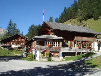
Except for huts and inns mentioned here, there are no catering options on the route and hardly any drinking water. Take necessary precautions. For much of this route, you are in high mountain terrain. Conditions can change quickly and it can snow even in the middle of summer. Do not overestimate your strength and bring appropriate equipment. For your safety or to better discover the beauty of the mountains, travel with an accompanying guide (AMM) or mountain guide.
Good to know
Pavements
Best to visit
Equipment
We recommend the following equipment: sturdy hiking boots, medium-sized backpack with hip belt, sun protection, rainwear, hiking poles, first aid kit, small flashlight, picnic, sufficient fluids, good maps, accommodation phone numbers, emergency numbers, hut sleeping bag, spare clothes, toilet articles.
Directions & Parking facilities
Via Zweisimmen to Lenk. From there via Pöschenried to Iffigenalp.
Parking available at Iffigenalp
Arrival and return: By train to Lenk and then by local bus to Iffigenalp.
Additional information
License (master data)
Author´s Tip / Recommendation of the author
Book accommodations early!
Safety guidelines
Note: This multi-day route runs mostly on mountain hiking trails away from civilization. Good preparation is essential. The weather forecast should be checked twice daily. Information on the condition of the paths can be obtained from the accommodation operators.
Map
Nearby
