- 6:50 h
- 18.91 km
- 1,300 m
- 1,300 m
- 976 m
- 2,163 m
- 1,187 m
- Start: Kemmeriboden Bad
- Destination: Kemmeriboden Bad
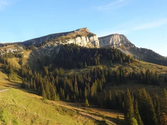
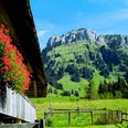
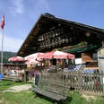
From the bus terminus Kemmeriboden Bad, an asphalt path leads along the powerfully rushing Emme River to the gorge, where the river forms a beautiful waterfall in the deep ravine of the "Wilden Bockten." Near Hinter Hübeli, the path turns into the sunny mountain slope and climbs steeply to the Alp Schärpfeberg. Even steeper and increasingly rugged, a narrow mountain path winds partly over steps through the Steiniwald forest and between rock bands and karst formations up to the SAC blockhouse, which is used exclusively for nature observation.
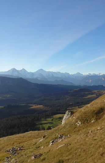
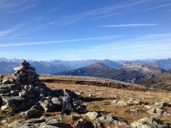
Magnificent view over the Emme's source area to the high Alps. The path leads through loose mountain forest and barren alpine pastures to a large scree field located in the basin between Steinige Matte and the main summit of the Hohgant (point 1897). However, the climb to Furggengütsch takes about another hour. The effort is rewarded with a magnificent panoramic view stretching from Säntis to the Vaud Alps. Equally impressive is the view northwards over the Emmental to the foothills of the Swiss Plateau and the Jura.
For the descent to point 1897, the ascent route is used, then turns southwards and reaches, via rocky pastures and sometimes pathless terrain, the Ällgäuli hut. After only 200 m, the alp road is left and one reaches the mountain meadows of Ällgäu at point 1595, where the forest road leads over Steini, Schärpfeberg, and Hinter Hübeli back to the starting point Kemmeriboden Bad.
Please observe the following rules of conduct
Good to know
Pavements
Best to visit
Directions
Kemmeriboden Bad - Schärpfeberg - Hohgant - Ällgäu - Kemmeriboden Bad
Equipment
We recommend the following equipment: sturdy mountain boots, medium-sized backpack with hip belt, sun protection, rainwear, hiking poles, first aid kit, picnic, enough fluids, mobile phone.
Directions & Parking facilities
There and back: by bus from Escholzmatt to Kemmeriboden
Additional information
Association Bernese Hiking Trails, Bern, Tel.: 031 340 01 01, E-Mail: info@beww.ch, Homepage: www.bernerwanderwege.ch
Literature
Hiking suggestion from the hiking book Emmental - Oberaargau, hiking book series of the Bernese Hiking Trails
License (master data)
Safety guidelines
This route runs wholly or partly on signposted trails of the mountain hiking trail category.
Map
Swisstopo hiking map 1:50,000 254T Interlaken and 244T Escholzmatt
Nearby
