


- 5:30 h
- 11.92 km
- 1,192 m
- 454 m
- 564 m
- 1,756 m
- 1,192 m
- Start: Interlaken Ost, railway station
- Destination: Harderbahn, Bergstation
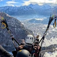
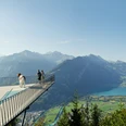
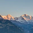
From Interlaken Ost, the trail first leads comfortably along the Aare River and the railway line to Ringgenberg. This is where the steep and challenging mountain trail begins for experienced hikers in good shape. The trail goes up to Blatti through a shady forest to the Graggentor, a natural rock arch. The path to the Alp Horet and on to the Roteflue runs flat over the Wannichnubel along the Harder ridge. The Harder Railway station, the destination of the walk, is no longer far from the Harder Kulm restaurant.

Berner Wanderwege
Good to know
Best to visit
suitable
Depends on weather
Directions
Interlaken Ost - Ringgenberg - Graggentor - Harder Kulm
Equipment
Normal hiking gear, hiking boots with good soles and walking sticks help with the ascent.
Directions & Parking facilities
Via Bern or Lucerne to Interlaken. Or from the south, via the Grimsel Pass (summer only) or the Simplon Pass and the Lötschberg car-transport train to Interlaken.
Uncovered parking next to Interlaken train station.
Arrival and departure via Interlaken Ost railway station.
Additional information
Hike 75
(in the printed summer panoramic map of the Jungfrau Railways)
(in the printed summer panoramic map of the Jungfrau Railways)
License (master data)
Safety guidelines
Mountain hike with some exposed sections.
Nearby


")
